
This year, I camped in the Furnace Creek campground located next to the Furnace Creek Ranch because Texas Springs (where I camped the last few years) was closed, and I could walk to the ranch easily. They have a small section for tent campers but the parking is such that you get headlights in your tent whenever someone parks, and you're not allowed to park in the spot in front of your own tent (go figure). I picked up the 49ers button and program guide in their booth relocated next to the Fiddlers stage.
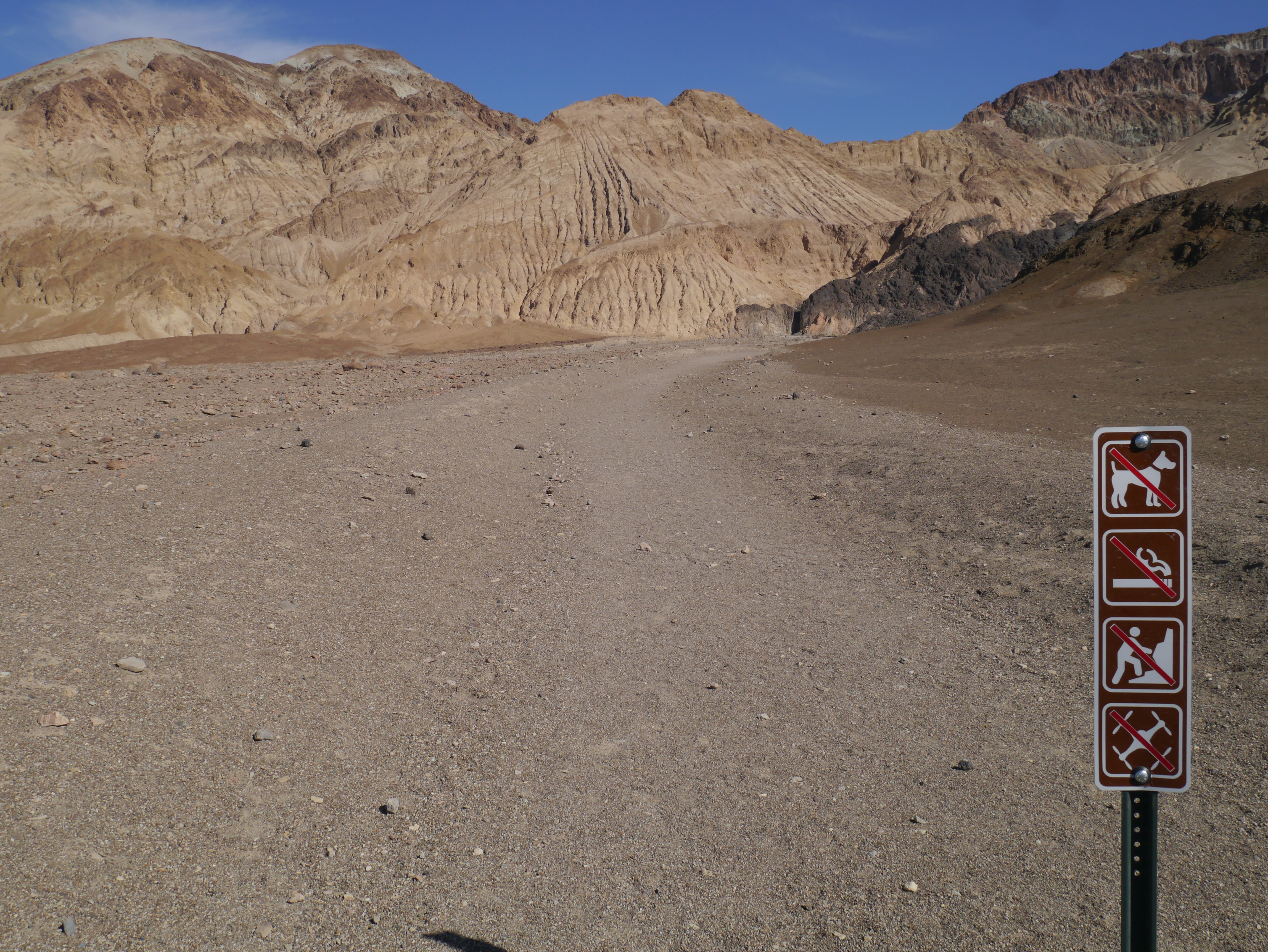
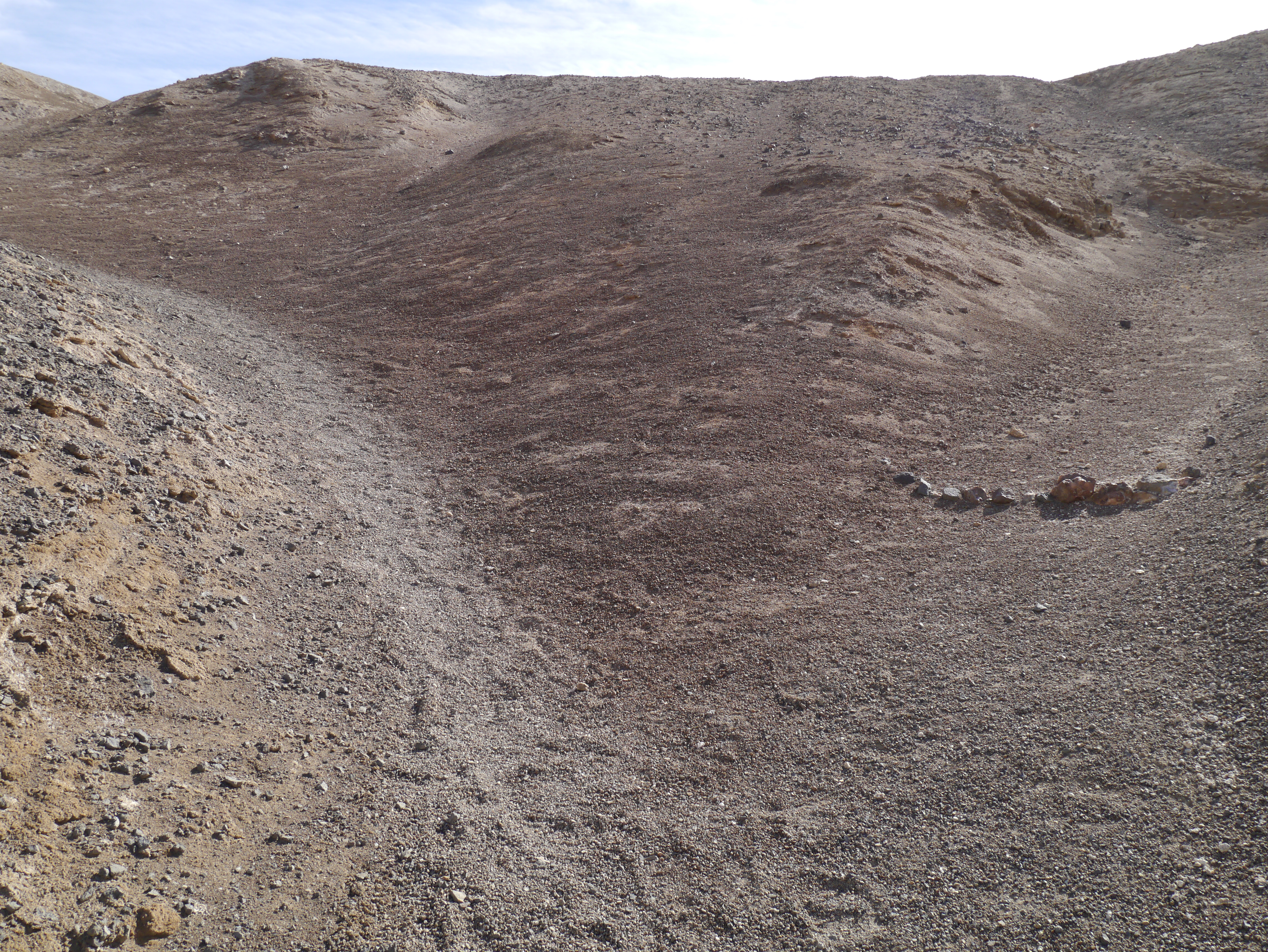
Each year, the 49ers puts out a pamphlet/booklet about Death Valley. This year, it was a collection of stories from the 49ers encampments, especially the 1949 centennial celebration. It attracted 65,000 people, and the main stage was in Desolation Canyon. Since I had never been there, I made a point to visit it. It is just south Golden Canyon, so close to Furnace Creek, but there is no sign on the highway itself; it is only after turning on the gravel road, that you see a small sign for Desolation Canyon. The trail head is very close to the main highway with no facilities except a parking loop. Walking up the canyon is easy at first as it is well graded and compacted. It was the first time I saw a sign for "no drone":
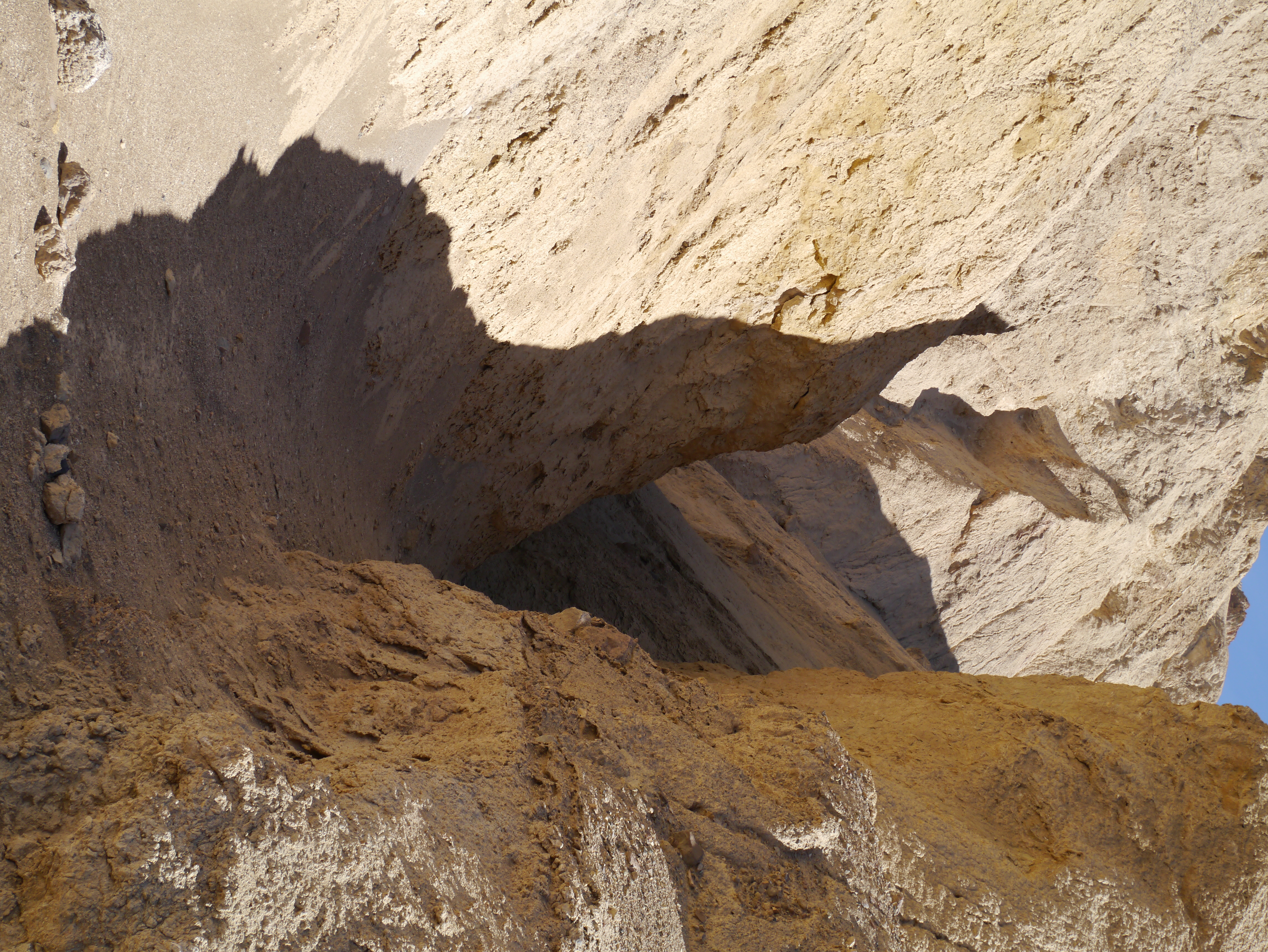
The canyon eventually narrows:
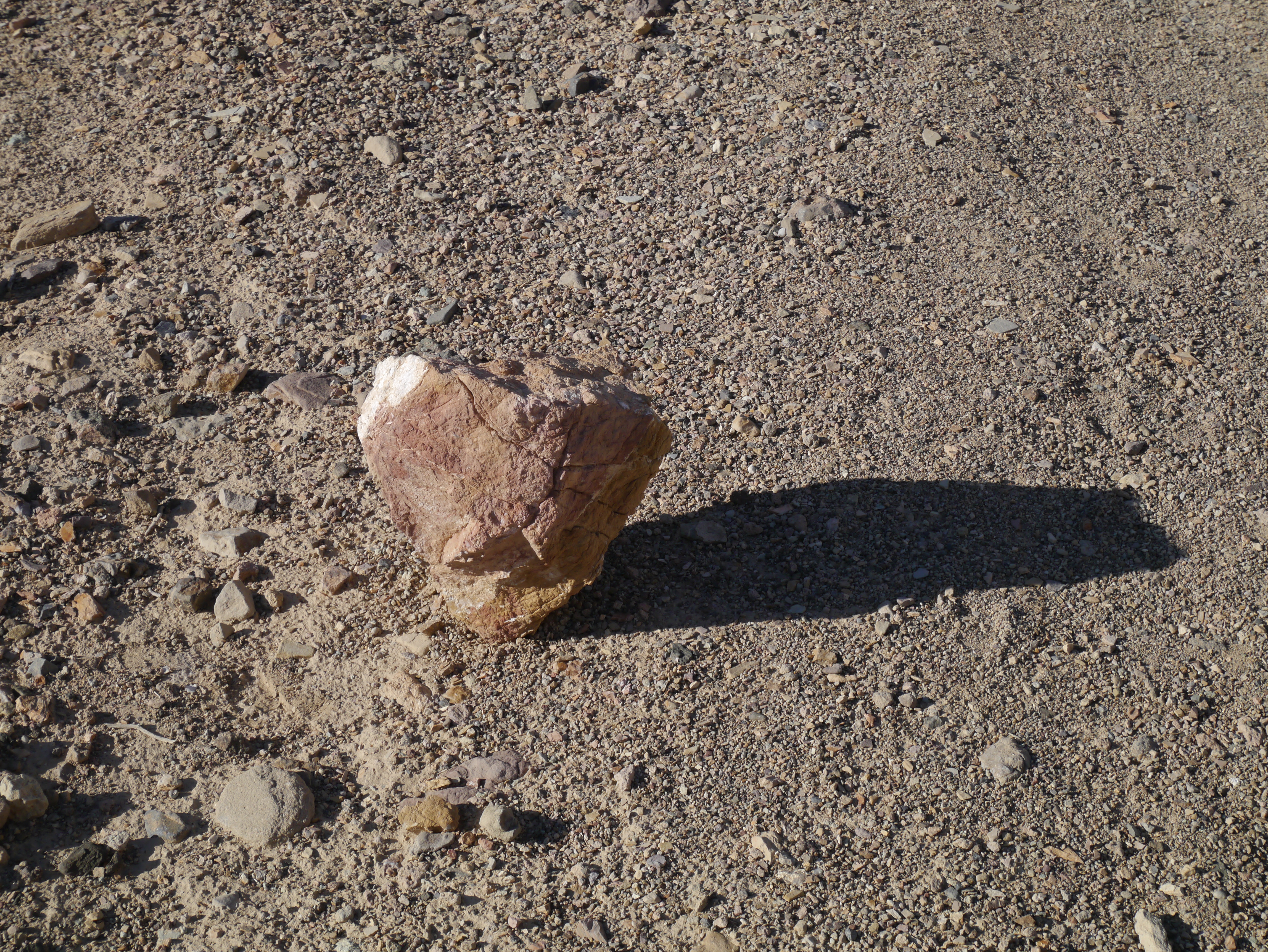
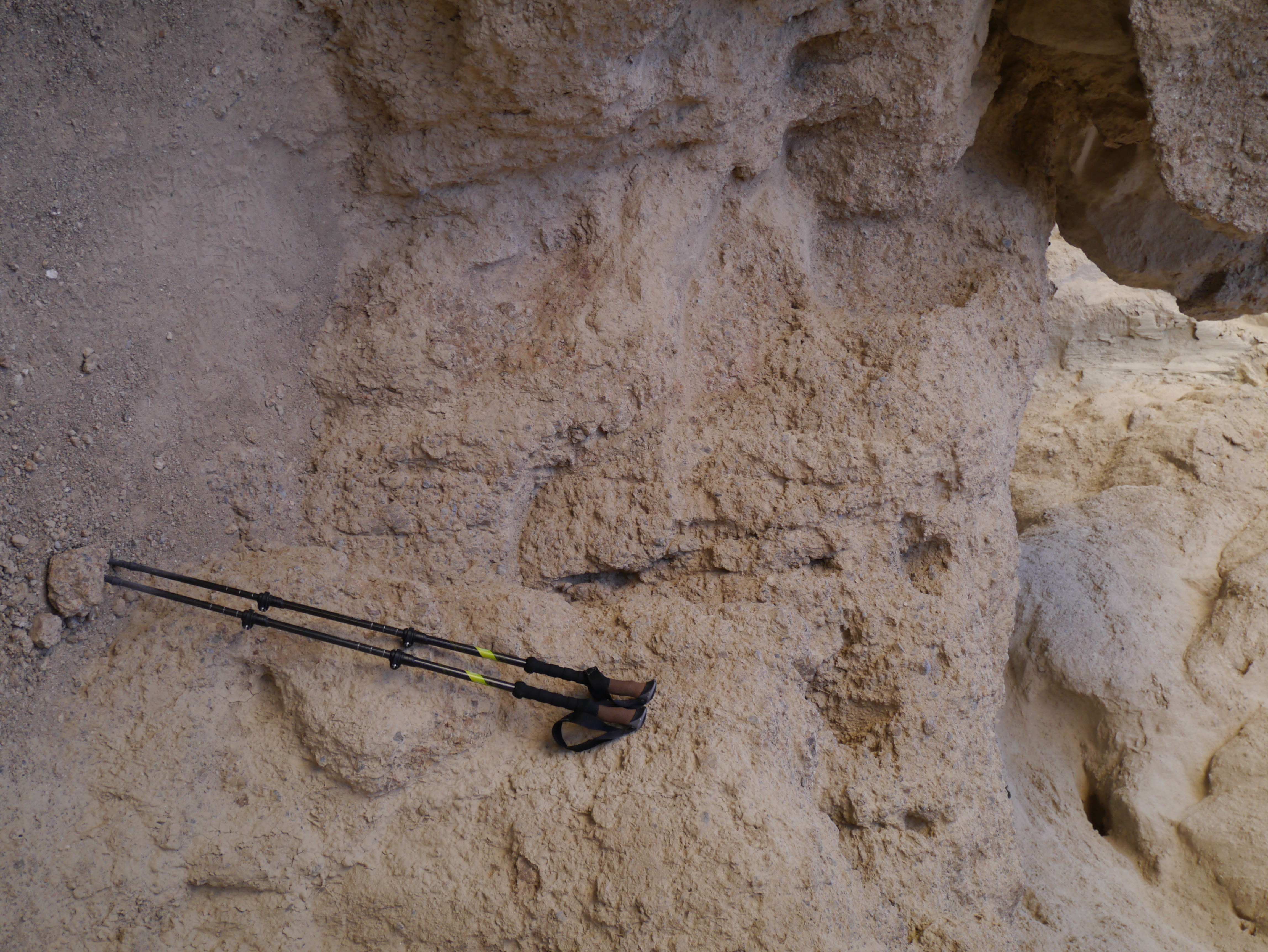
and there are periodic hints as to the correct path to follow:
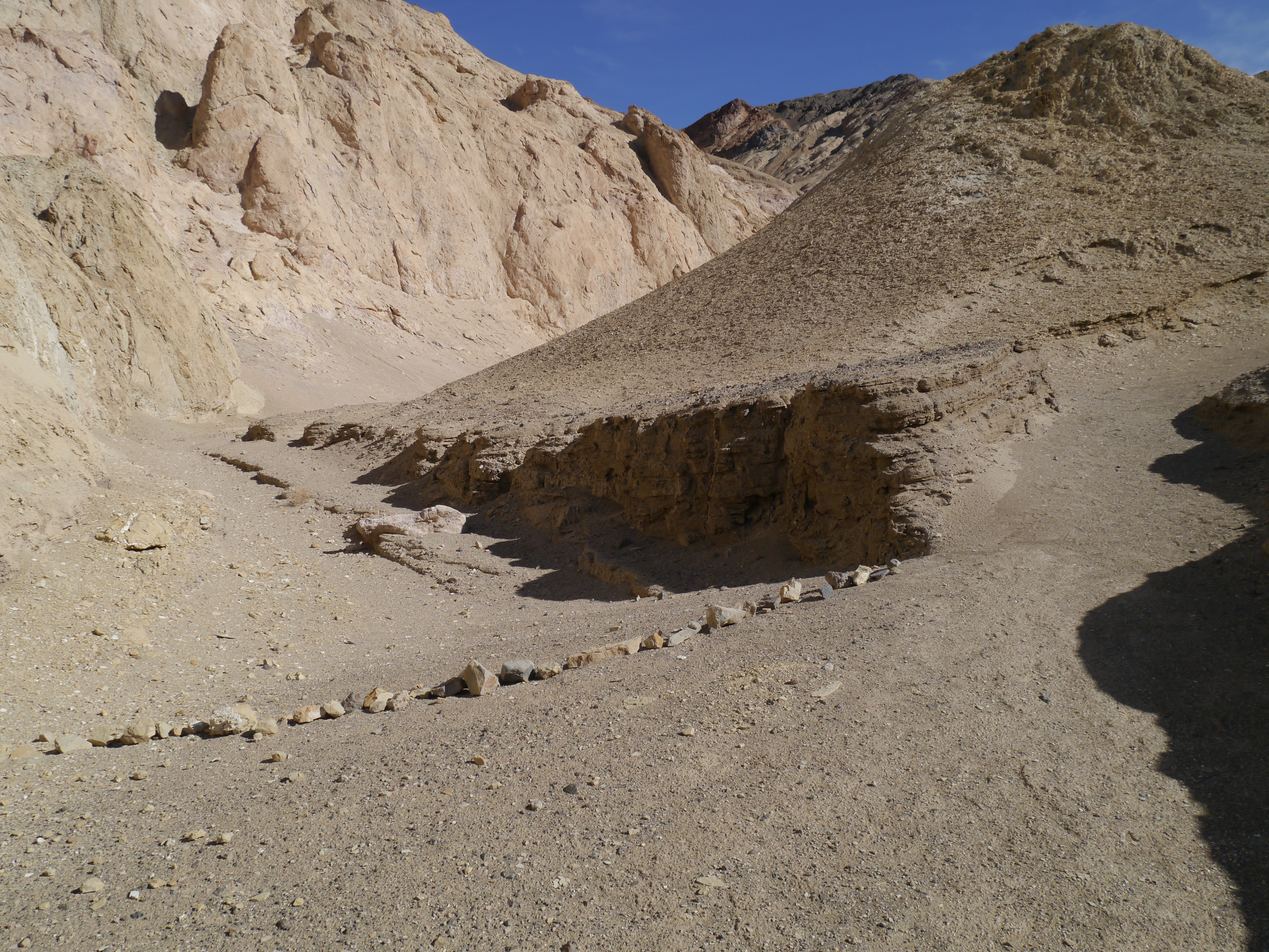
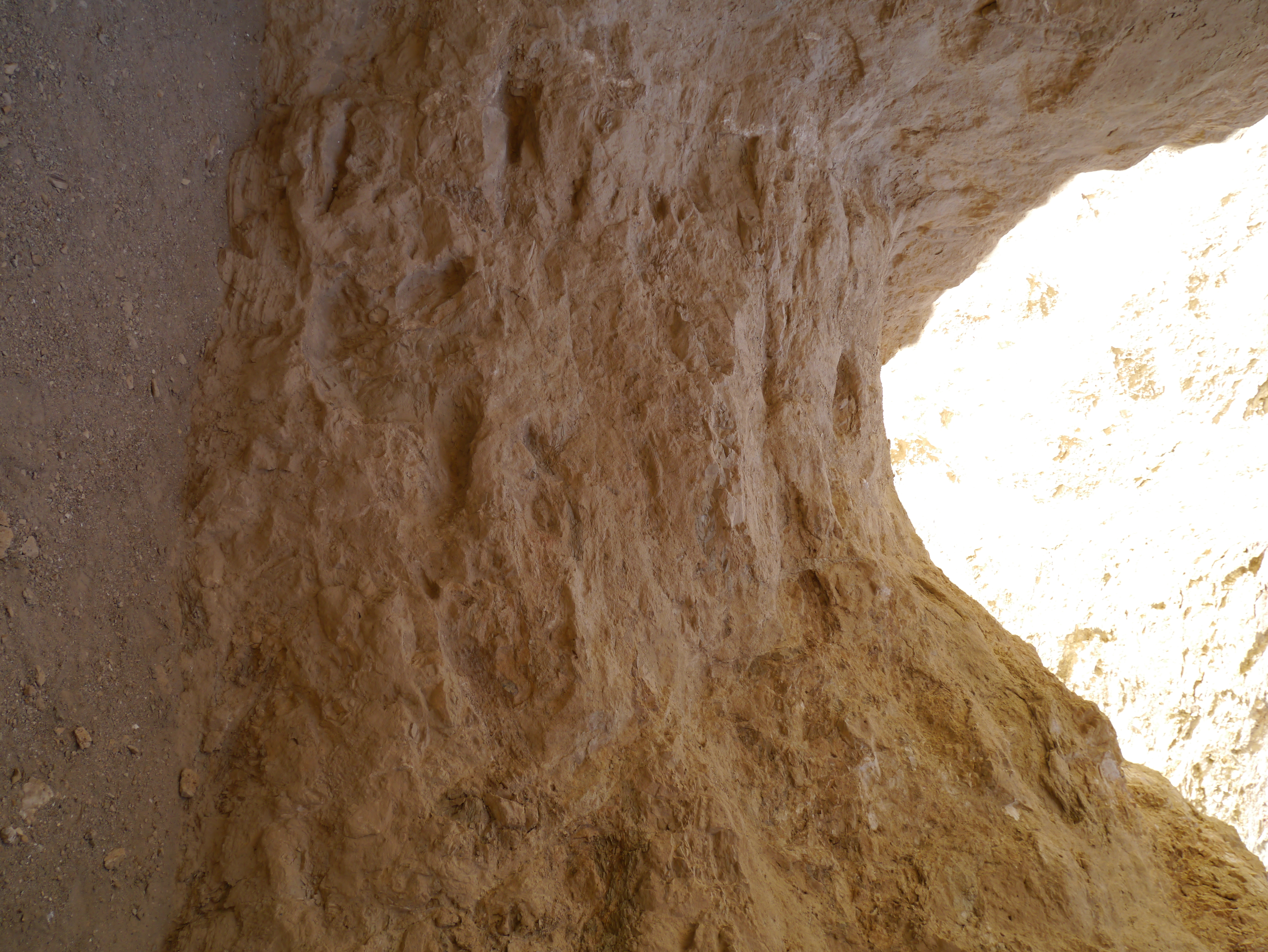
There are some challenges as you have to climb over a couple of dry falls:
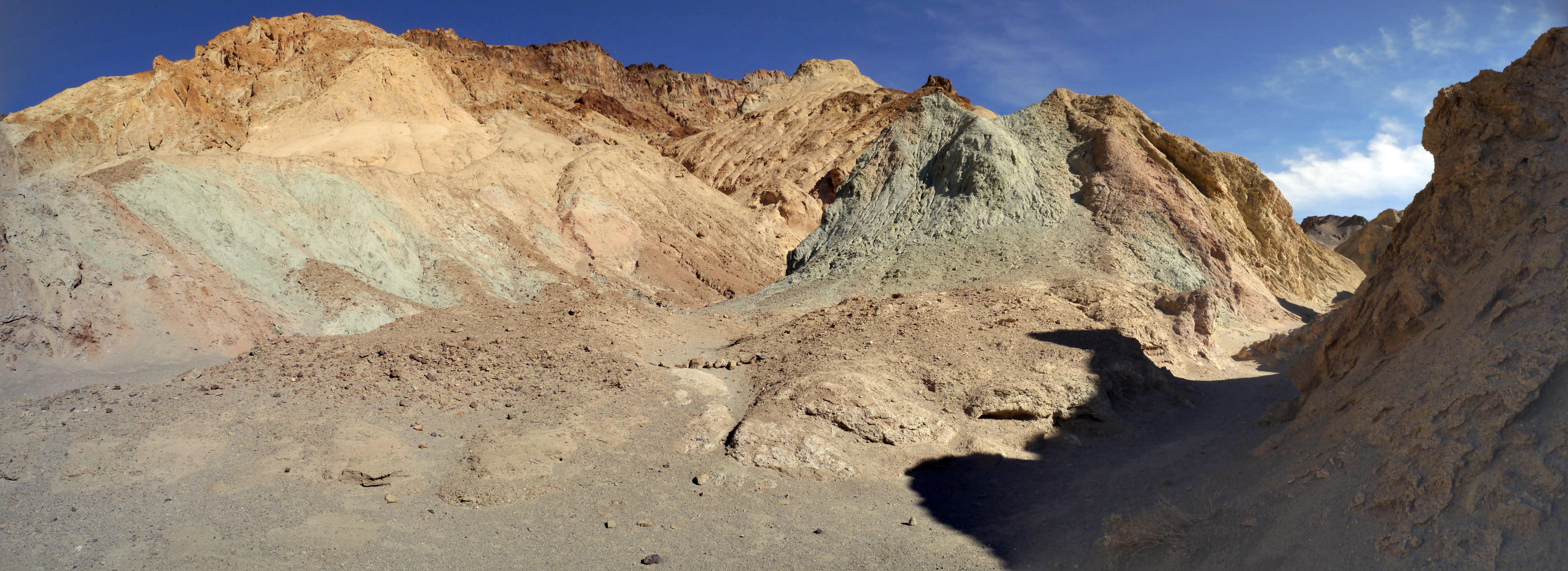
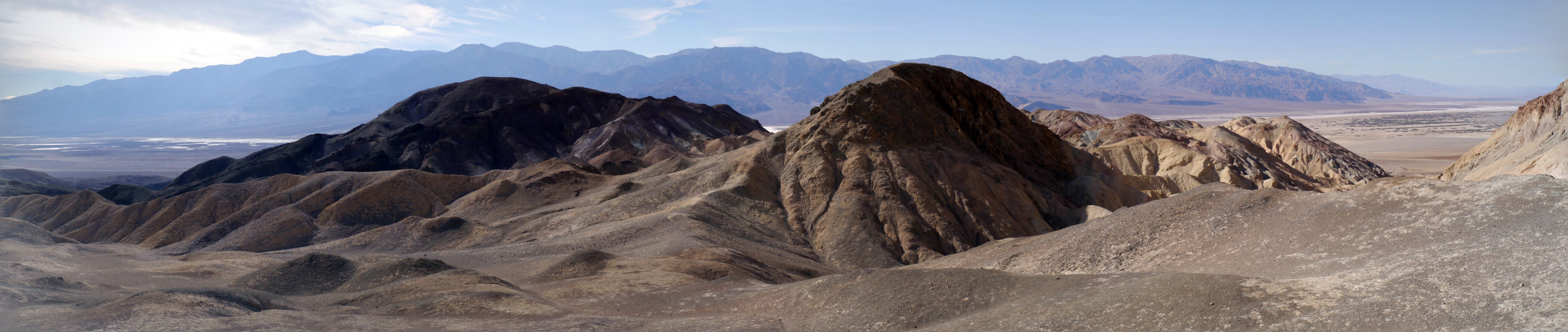
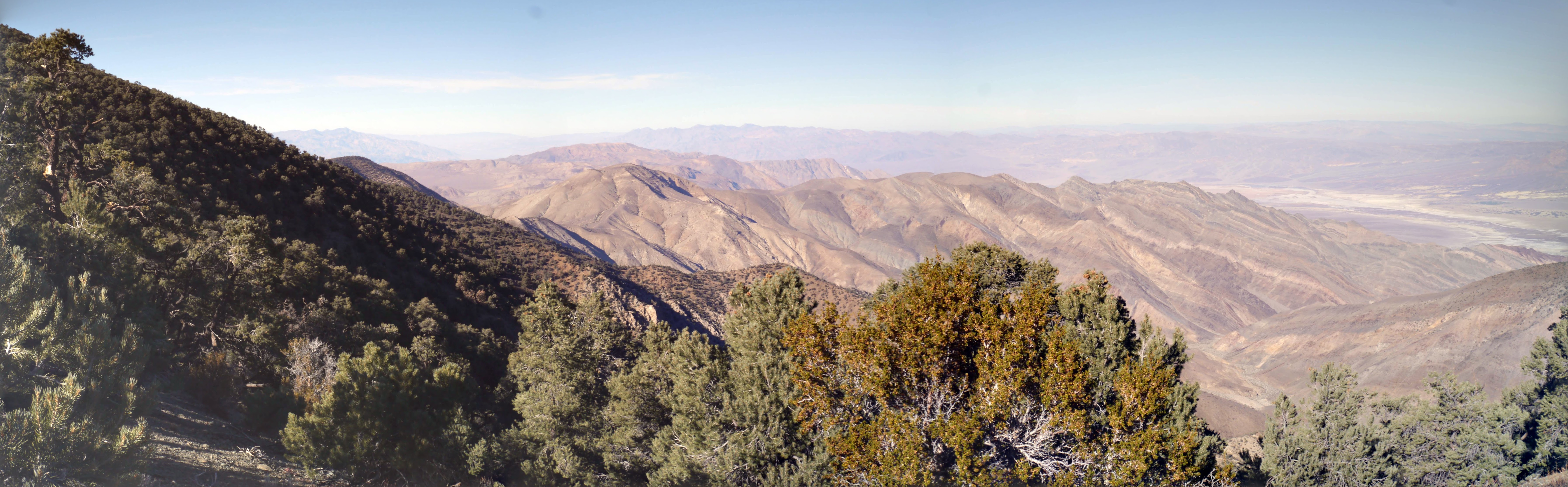
Once close to the top, you can look south into the Artists Palette with its marvelous colors, and you reach a good point to overlook the valley itself stretching out both to the north and south with the Panamint range and Telescope peak in the background:
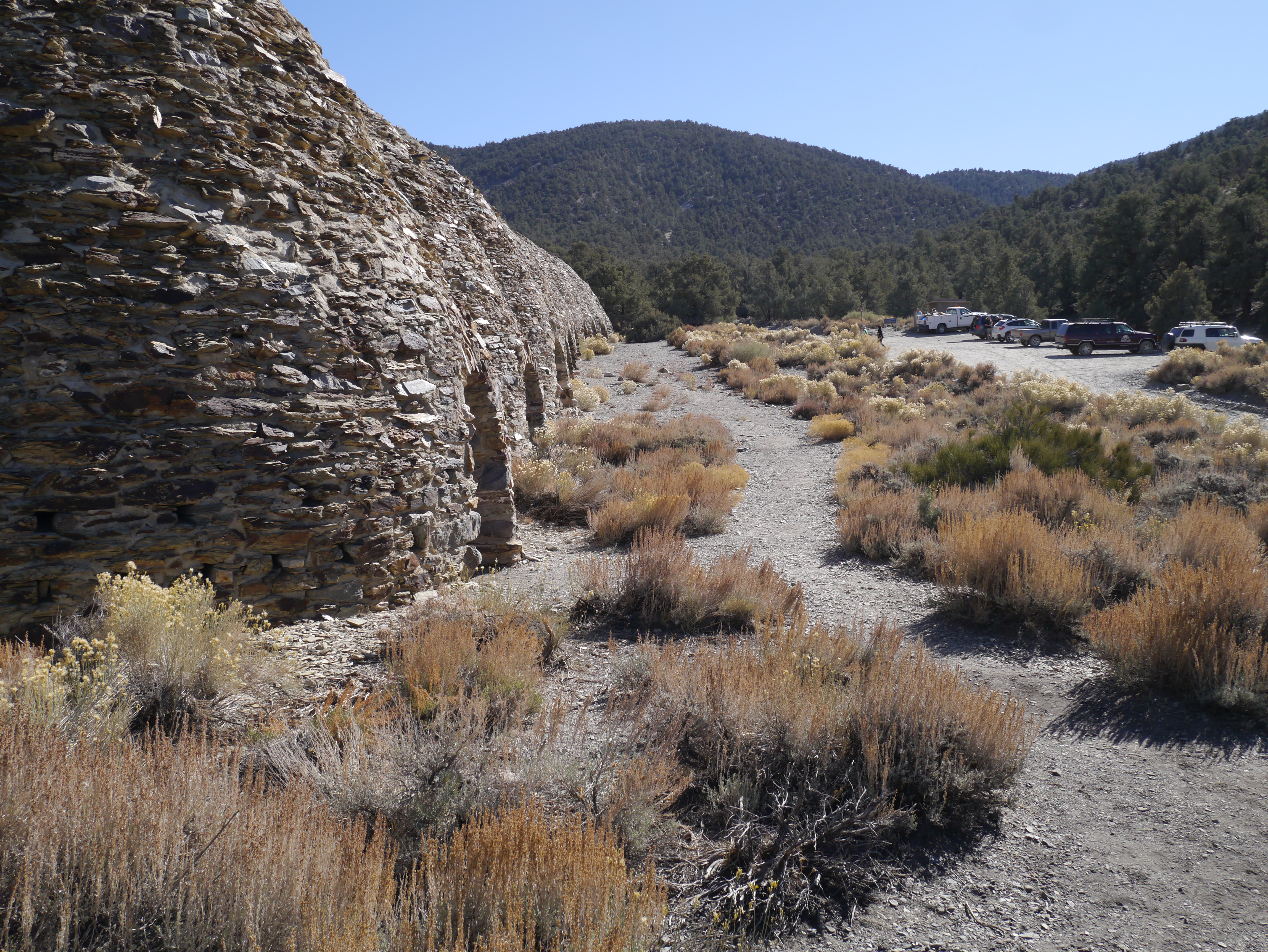
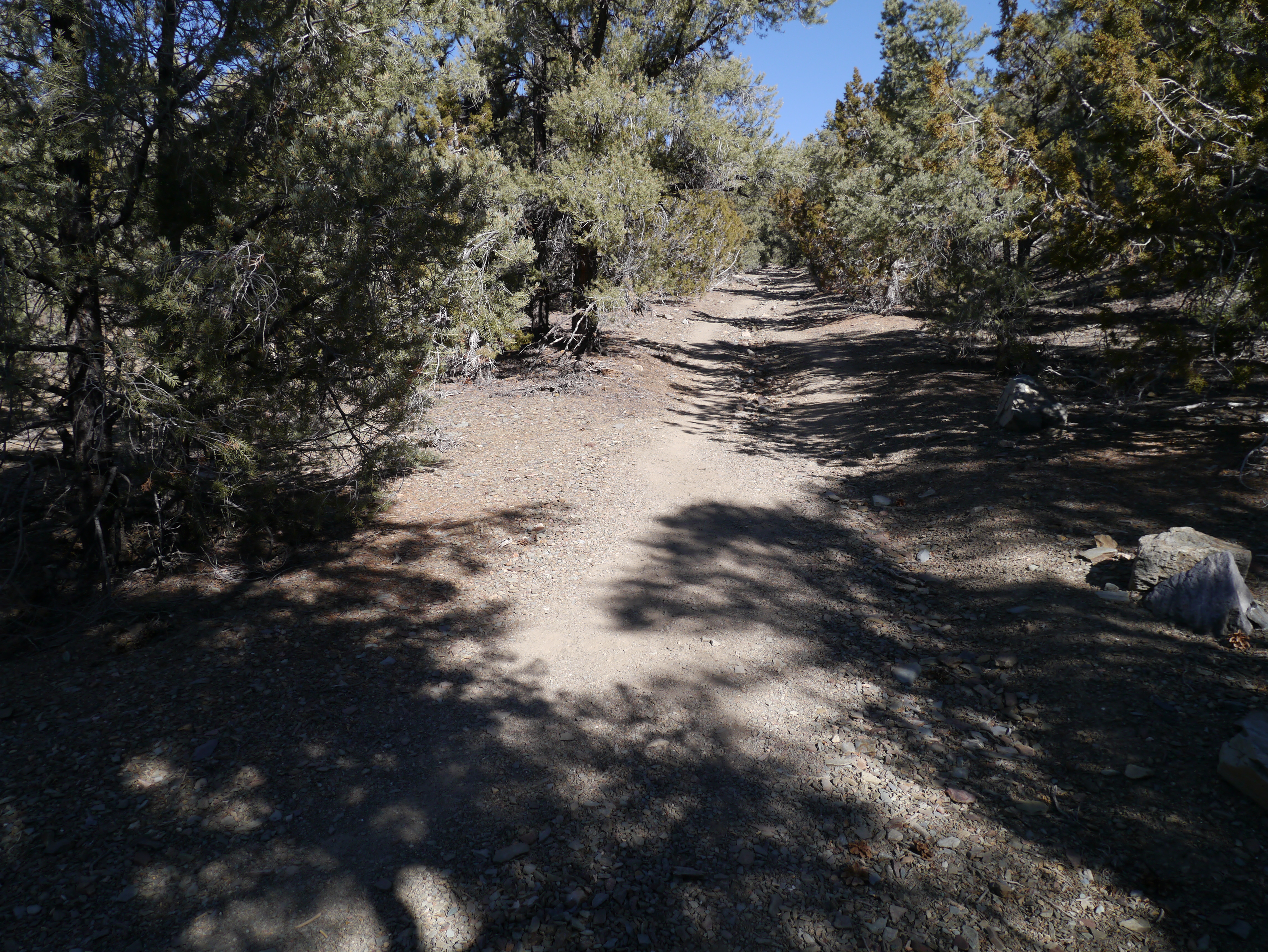
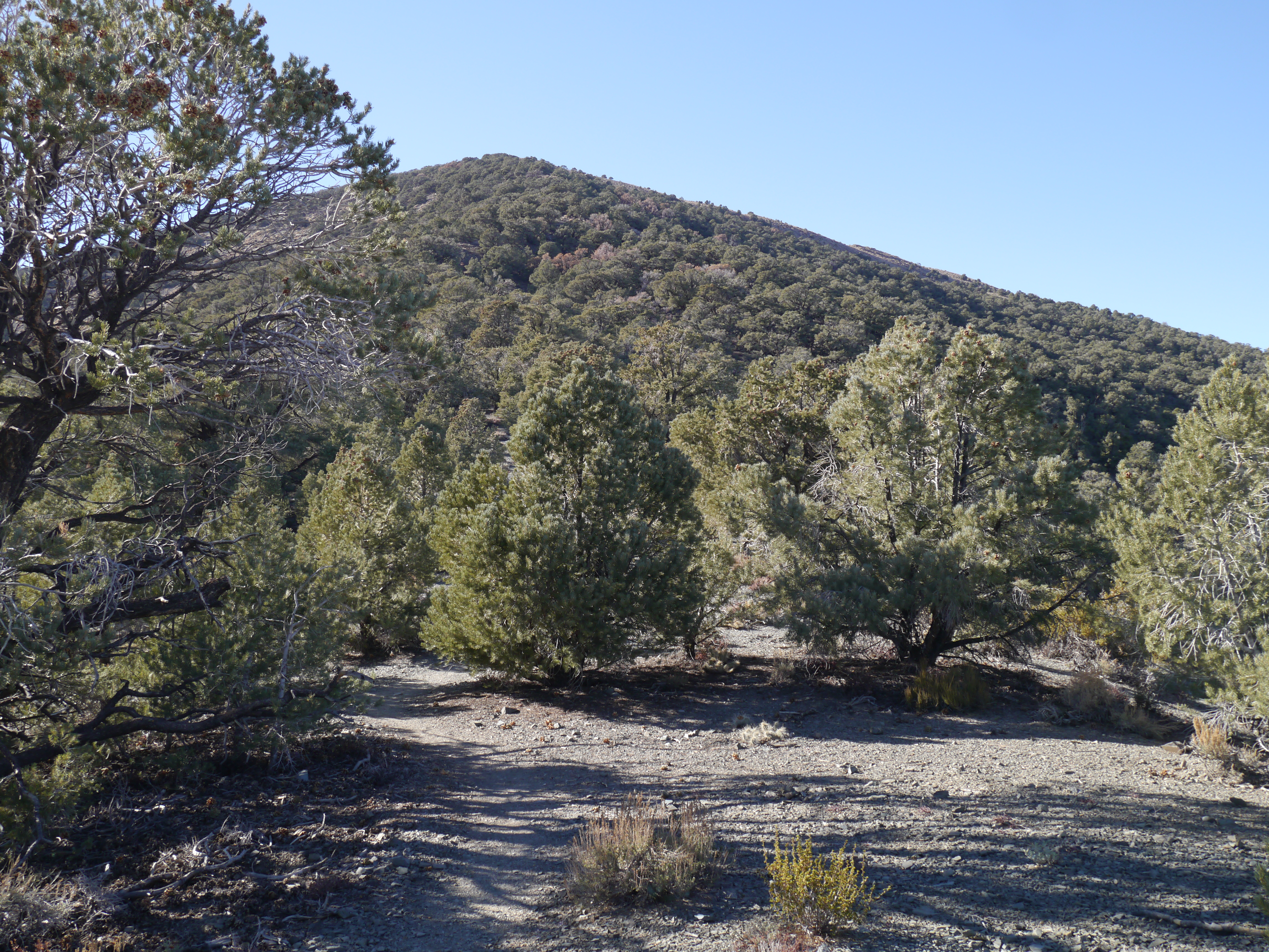
The next day, I went to the kilns to do the Wildrose Peak trail, somewhat less ambitious than the Telescope peak trail, but still it stretched the limits of what I could do in an afternoon. Based on the time of day, I told myself I should turn back in 2 1/2 hours to give myself time to hike back in the daylight hours. The trail starts steeply south of the kilns, but is soon almost horizontal following a contour line, then gets slowly steeper with patchy shade.
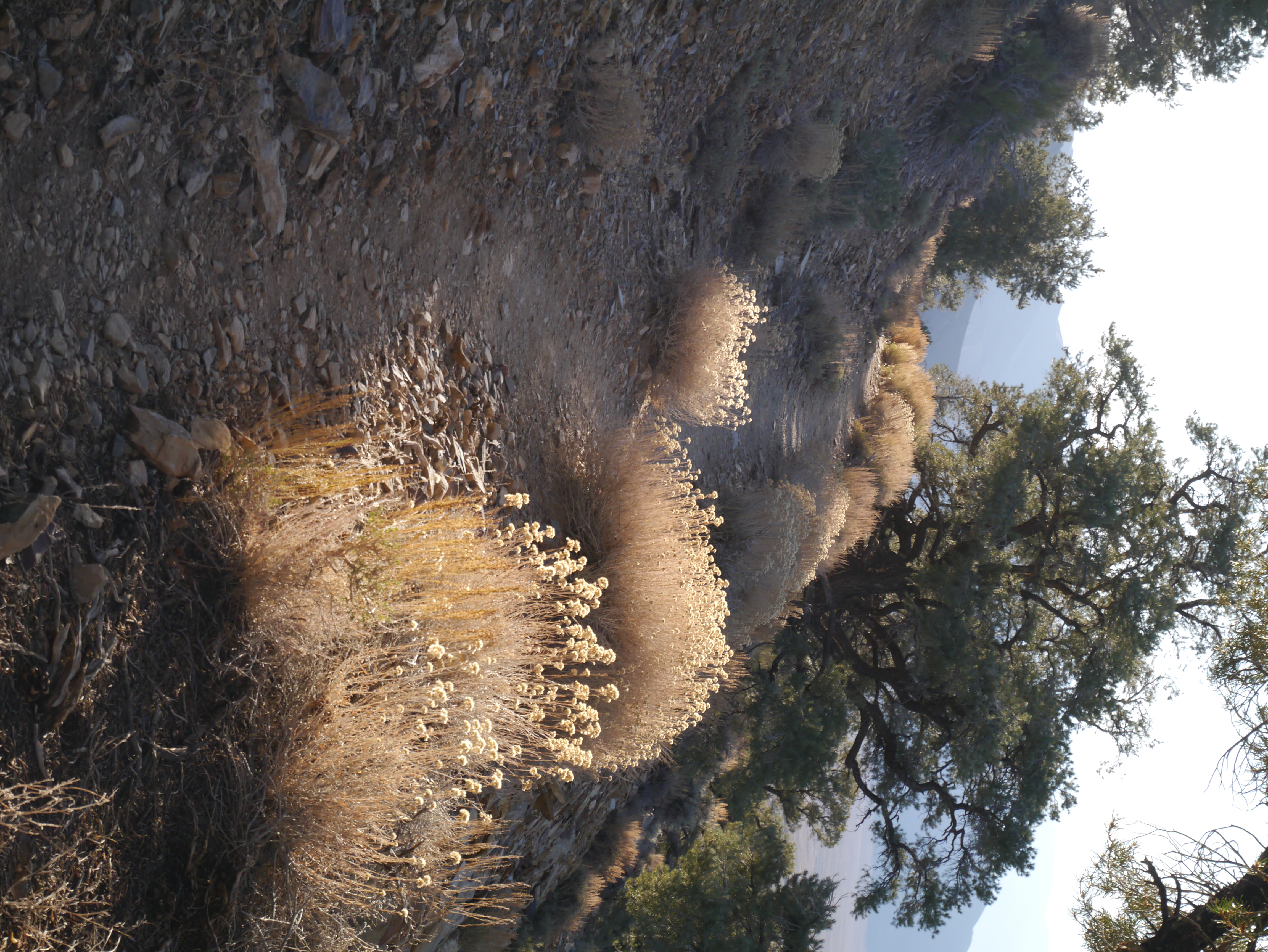
Eventually you overlook Death Valley itself, but the path continues climbing up and down to the base of Wildrose Peak itself. To the right is a view of Aguereberry Point in the distance where I've driven to in the past:
Given the time, I stopped here and turned around even though it was tempting to push on since I had the top in my sights. I was glad I did when I got back to the kilns though, more tired than I expected. This hike gave me a good indication of my own limitations in terms of distance and time, however hard it is to accept.
The weather was mild: pleasant to hike during the day, and way above freezing at night.
I drove back to the Furnace Creek campground for my last night in the park. I got up early and saw the sun flooding the valley with pinkish hues before fully rising above the mountains. I then drove back to Santa Cruz via Panamint Valley, Tehachapi pass and its windmills, then west on 46, and north on 101.